In its Maritime Domain Awareness report launch in Jakarta on 7 July 2026, the Indonesia Ocean Justice Initiative (IOJI) findings show that Indonesia’s maritime domain is increasingly concerning in at least three key areas: Automatic Identification System manipulation (AIS spoofing), opaque vessel ownership, and unauthorised underwater unmanned vehicle (UUV).
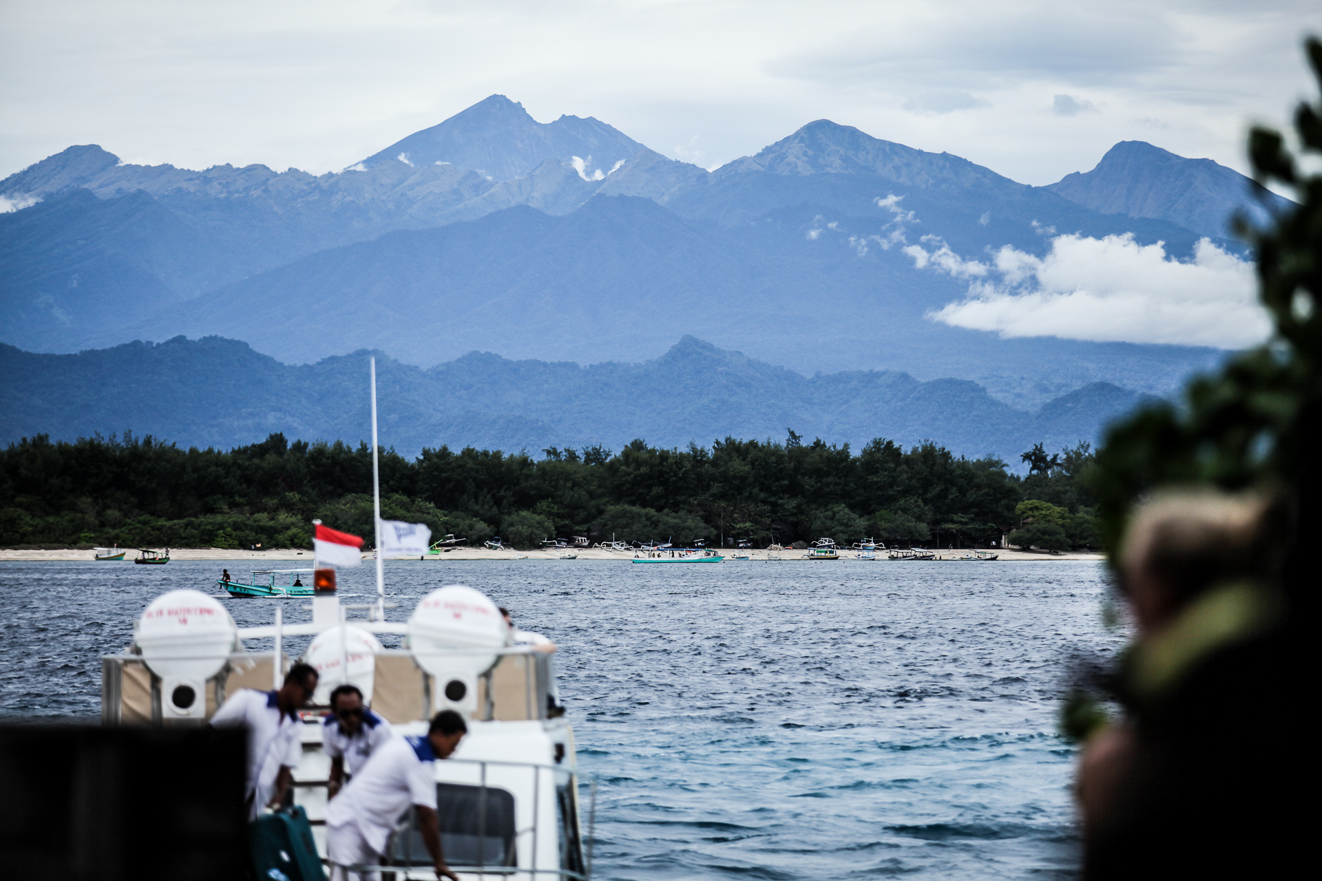
These activities may appear separate, but together they show how maritime power is exercised below the threshold of open confrontation. Other findings from IOJI and Kompas pointed to suspected spoofing activity around the Indonesian Island of Bintan and the discovery of a UUV in the Lombok Strait, possibly linked to Chinese marine research activity. It is important to note how the Lombok Strait is a vital maritime highway of Southeast Asia. The ABC describes it as “a key economic and military corridor between the Indian and Pacific Oceans.” For Australia, Indonesia’s straits and archipelagic sea lanes are especially important, linking Australia to the South China Sea, as a critical route for trade.
Understanding the Problem: Spoofing and Evading Authorities
The problem is that illicit maritime activity is becoming harder to detect, trace, and enforce against. In the North Natuna Sea, IOJI reported that 48 Vietnamese fishing vessels were detected conducting illegal fishing on 20 April 2026, reportedly with AIS turned off. Illegal fishing is often framed as a fisheries crime, and this is understandable. It threatens fish stocks, coastal livelihoods, and Indonesia’s sovereign rights in its EEZ. But when foreign vessels reportedly conduct fishing activity with manipulated AIS, the problem becomes more than resource theft. It becomes a form of jurisdictional evasion, a legally claimed space that remains difficult to police.
The Bintan spoofing case illustrates how this enforcement problem extends beyond illegal fishing. Spoofing manipulates the data through which ships are seen, but it does not only hide a vessel. It distorts the informational environment around that vessel, making it difficult for authorities to investigate and hold accountable any ships that might be conducting illegal maritime activity, such as oil waste dumping. In such cases, spoofing can obscure whether a vessel was present near the dumping site at the relevant time and it weakens the evidentiary trail needed to identify who was responsible.
But the more critical issue is that spoofing is rarely just a technological trick. It is enabled by a broader ecosystem of maritime opacity, where a vessel’s owner, operator, manager, flag, and registered address may all point in different directions. Spoofing actor operators in Bintan, Indonesia, for example, had been done by three major vessels (Stellar Beverly, Vieira, and Orleans Hawk). These are linked to entities such as Elite Marine Management, Vieira Group,Auris Marine Management Ltd, and Jersey Group, with addresses in Hongkong and Shanghai. The vessel at sea may be registered to one entity, managed by another, operated by another, insured elsewhere, and linked to addresses across different jurisdictions.
Spoofing trackers may expose that something suspicious has happened, but it does not automatically point to who made it happen. And this is where ownership and management structures matter. They can enable or obscure efforts to establish who controls the vessel, who operates it, who benefits from its activities, and its violations history. States may identify a suspicious vessel, but still struggle to identify the beneficial owner, the operator, the commercial network, or the actor ultimately responsible. The sea becomes opaque not only because vessels manipulate their AIS, but because legal and corporate systems can make responsibility more difficult to trace.
One of the more strategically significant cases is the reported discovery of a moored underwater sensor in the Lombok Strait. It is important to note that this UUV is not the same as an untethered drifting object. If it was anchored, then it had to be deliberately placed. It may also have been intended to remain in position, collect data, and be retrieved later. The critical question is not only who owned the object, but whether Indonesia, as the coastal state, had full knowledge of its deployment, whether the activity was covered by an authorised research permit, what data was being collected, and why the device was left behind. In addition, the device was covered in biofouling, including barnacles and other encrusting marine organisms, suggesting it had remained underwater for a considerable period.
Under the UNCLOS, marine scientific research in a coastal state’s EEZ and continental shelf requires the consent of that coastal state. It means the issue is not simply whether research is peaceful or scientific, but whether the coastal state has de facto oversight and control over what is being done in its waters. The location makes the issue even more serious. The Lombok Strait is not an alternative or peripheral Indonesian waterway. It is one of the archipelago’s most important deep-water passages, a primary waterway.
Australia’s Stakes in Indonesia’s Sea Lanes
A recent Lowy Institute analysis noted that Indonesia’s straits and archipelagic sea lanes, including Malacca, Lombok, and Sunda, carry most of Australia’s trade, with routes through and around Indonesia accounting for 83 per cent of maritime imports and around 90% of exports. This makes Indonesian maritime governance a direct Australian interest.
Many might suggest increasing patrols. However, patrolling, while important and necessary, does not have the capacity to effectively deter intrusion. A patrol boat can intercept a vessel, but it cannot by itself solve the issue of spoofing, ownership opacity, or unauthorised underwater data collection. Addressing these problems requires stronger intelligence fusion, clearer lines of jurisdiction to reduce operational friction, and greater transparency in how maritime information is shared and acted upon. Indonesia has many of the necessary tools and mechanisms to monitor their waters, however they appear fragmented across agencies, mandates, and databases. These issues continuously create gaps that foreign actors can exploit.
The main concern is the disparity between what Indonesia can detect versus what it is able to prove, trace, and enforce. Closing that distance needs to be considered a regional security priority. For Indonesia, it is about making sovereignty work in practice. For Australia, it is about recognising that maritime order in the Indo-Pacific depends not only on freedom of navigation, but on whether coastal states have the capacity to mitigate increasingly sophisticated illicit maritime activities inside their own waters.
Dr Lupita Wijaya is a Research Fellow from La Trobe Centre for Global Security. Her research expertise lies in the intersection of information and maritime security, with a particular focus on the South China Sea. She is currently managing Southeast Asia Maritime Media Fellowship (formerly known as Southeast Asia Maritime Media Visits Project), supported by the Australian Department of Foreign Affairs and Trade.
This article is published under a Creative Commons License and may be republished with attribution.